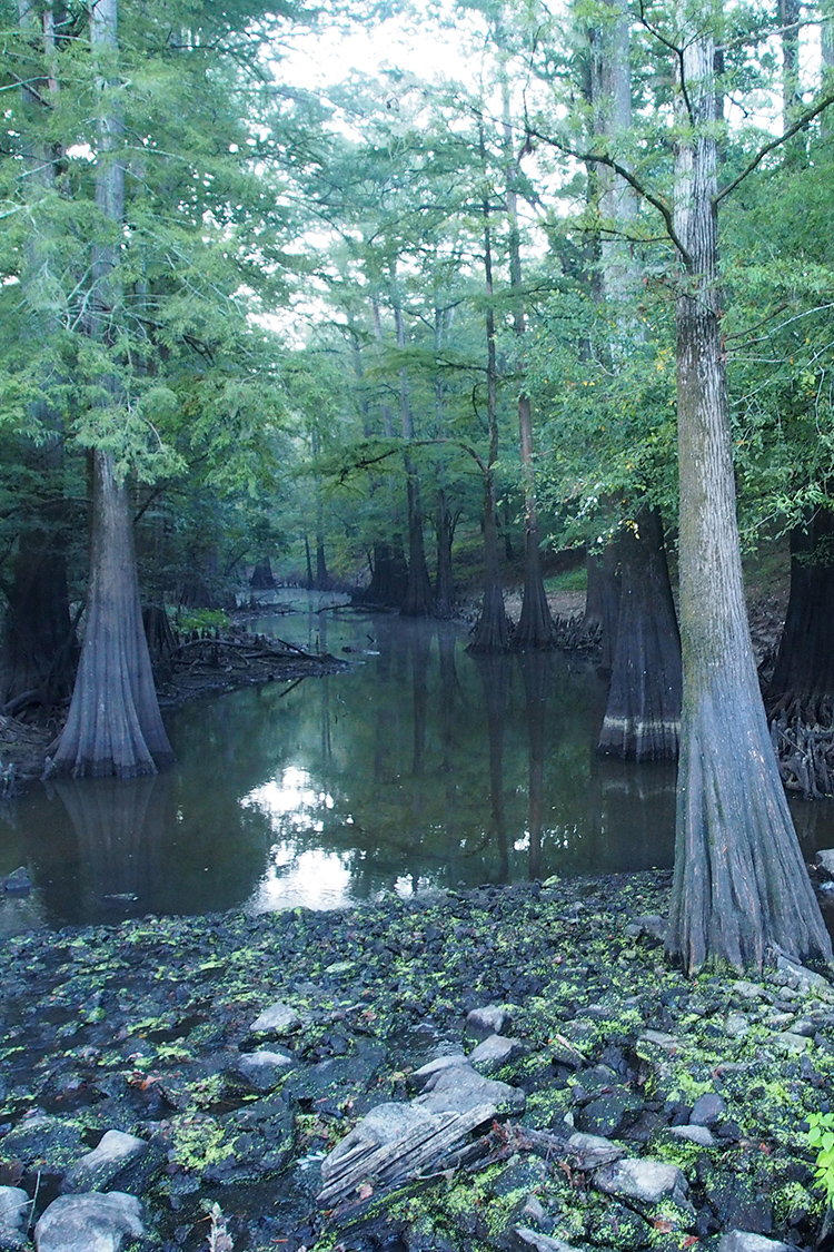
Cut-off Creek Ravines Natural Area, located in the Coastal Plain, contains two ravines that flow generally eastward from uplands to the adjacent bottomlands along Cut-off Creek. The ravines are forested with a pine-oak forest at their heads and a mixed oak and beech forest near their mouths. The bottomland into which the ravines empty is forested with willow oak and water oak on higher sites and overcup oak and bald-cypress on lower sites. This natural area represents a valuable example of a Coastal Plain forest and of the transition from Coastal Plain to Mississippi Alluvial Plain. The natural area falls within the Cut-off Creek Wildlife Management Area and is co-managed with the Arkansas Game and Fish Commission (AGFC).
TRAIL
Length- 4.3 miles from upper weir access to lower weir access
Difficulty- Moderate
Download Trail Map
Cut-Off Creek is free of rapids, although high water can create dangerous conditions around trees and other obstacles; watch for snags, floating logs, and cypress knees. The creek flows south; flow is minimal most of the year (expect to travel 1-2 miles per hour). At normal water levels, paddling upstream is an option. Please respect private property marked by fences, signs, or purple paint. Visit the Arkansas Game and Fish Commission website for more information.
DIRECTIONS
From Monticello, travel east 14 miles on state Highway 35 to Collins. From Collins, travel south on County Road 51 (Collins-Line Road) for 9.3 miles. Turn left onto a gravel road marked by an Arkansas Game and Fish Commission sign for Campsite 2. Travel east 1.2 miles to the boat launch ramp.
HUNTING
Specific types of hunting are allowed on this natural area. For details, see the Cut-Off Creek WMA listing in the current Arkansas Hunting Guidebook. Take all necessary safety
precautions when visiting this area.
Related Content
Learn more about the Mississippi Alluvial Plain and Coastal Plain with our Natural Divisions of Arkansas publication