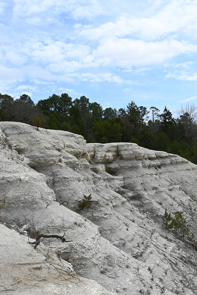
White Cliffs Natural Area, located in the Coastal Plain, occurs on a large outcrop of Annona Chalk, rising out of the Little River floodplain (now Millwood Lake) and includes a 100-foot high chalk bluff over the Little River, from which the area derives its name. A continuum of plant communities reflects a range of elevations at the site from the floodplain to the ridgetop. The area includes the largest, and least disturbed, Arkansas occurrences of chalk woodland. This community type is unusual for Arkansas as it is more typical of vegetation found on the Edwards Plateau of Texas. The area is also of historic significance as the site of a late 19th century settlement. The crumbling remains of foundations mark the locations of several structures.
TRAIL
Length- 1.75 miles
Difficulty- Easy to moderate; paved portion of trail is ADA accessible
Trail Blazes- Blue
Download Trail Map
This nature trail meanders through relatively unique topography characterized by knolls, ridges, and ravines. Visitors can enjoy a scenic view of Little
River and the "white cliffs" from just a short distance from the parking area. The "white cliffs" are composed of chalk and can be seen at several
places along the trail. In the fall and winter Millwood Lake can be seen from the high ridgeline.
DIRECTIONS
From Brownstown, travel approximately 4 miles south on state Highway 317 to parking area on the right.
HUNTING
Specific types of hunting are allowed on this natural area. For details, see the White Cliffs Natural Area WMA listing in the current Arkansas Hunting Guidebook. Take all necessary safety precautions when visiting this area.
Related Content
