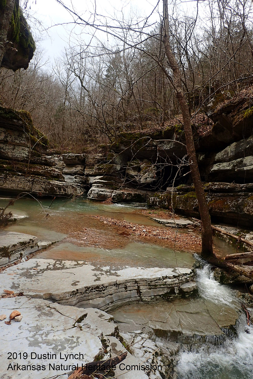
Located at the boundary of the Springfield and on Salem Plateaus of the Ozark Mountains, Hell Creek Natural Area supports populations of the Hell Creek Cave crayfish and the gray myotis, both federally endangered species. Most of Hell Creek Cave is wet year-round, with many of its passages flooded during periods of high rainfall. Hell Creek Cave is considered an example of a "solution channel" or "tunnel cave." Hell Creek, which flows through the cave, is spring fed and eventually empties into the White River. Hills above the cave support a diverse oak-hickory forest.
DIRECTIONS
**Please use the ANHC's written directions to verify directions provided by Google Maps. The Google Maps link may take you to a location other than the natural area entrance. The error has been reported. The correct GPS coordinates to the entrance are: 35.90699, -92.07728.** From Mountain View travel north on Highway 9N/14W/5N (Sylamore Avenue) for approximately 2.5 miles and turn right on Hillbilly Ridge Road. Travel approximately 0.1 mile and turn right on Mountain Crest Drive. Continue approximately 1.2 miles and turn right on Sarah’s Way. Proceed until the road dead-ends (approximately 0.2 mile) and park in the cul-de-sac.
HUNTING
Hunting is prohibited on this natural area.