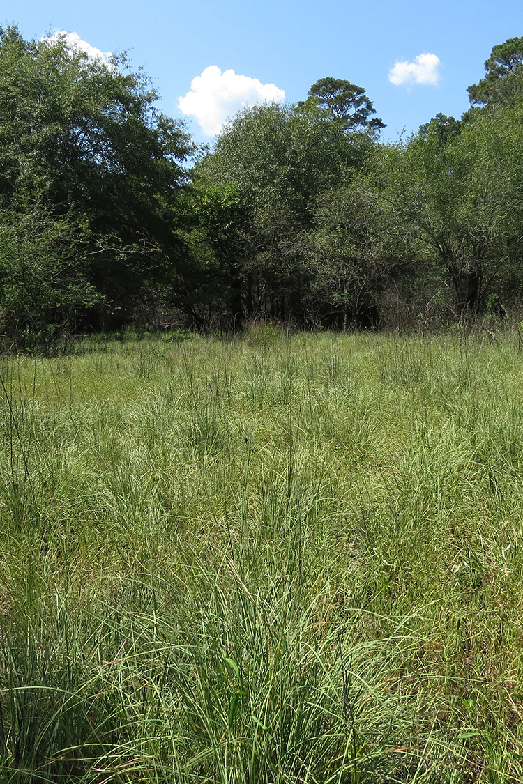
Coffee Prairie Natural Area, located in the Coastal Plain, preserves some of the last remaining examples of a type of grassland called "lowland sand prairie." This rare community is known to occur only in extreme southern Arkansas and northern Louisiana in the bottomlands of the Ouachita River and is unlike any other grassland type in Arkansas in species composition, soils, and hydrology. Coffee Prairie Natural Area falls within the Beryl Anthony/Lower Ouachita Wildlife Management Area and is co-managed with the Arkansas Game and Fish Commission (AGFC).
DIRECTIONS
From the intersection of U.S. Highway 82 and State Highway 133 (Main Street) in Crossett, take U.S. Highway 82 west approximately 4.8 miles and then turn left (south) onto Ashley Road 11 (Ramsour Road). Travel on Ashley Road 11 for 2.2 miles and then turn right (south) on Ashley Road 226 (Walls Trail). Travel on Ashley Road 226 for 1.4 miles to intersection with Ashley Road 221 (Cremer 88 Trail). Turn right (west) and go 1.3 miles on Ashley Road 221 and then veer left onto Ashley Road 247 (Loop Road). Continue south on Ashley Road 247 for 1.4 miles to the Union Pacific Railroad Tram Road. Turn left (southeast) onto the Tram Road and travel 1.1 miles to the natural area/wildlife management area access road. The natural area/wildlife management area access road is on the right (south) side, just past an open, flooded area that is on the left (north) side of the Tram Road. Travel a couple hundred yards on the natural area/wildlife management area access road to the Arkansas Game and Fish Commission Beryl Anthony Lower Ouachita River Wildlife Management Area sign and parking area. Walk about 0.5 mile along the old road trace in a southwesterly direction (posted with blue diamonds) to the boundary of the natural area. Note: this area is prone to flooding and may be inaccessible during some portions of the year; also, downed trees may occasionally block the Tram Road.
HUNTING
Specific types of hunting are allowed on this natural area. For details, see the Beryl Anthony Lower Ouachita WMA listing in the current Arkansas Hunting Guidebook. Take all necessary safety precautions when visiting this area.
