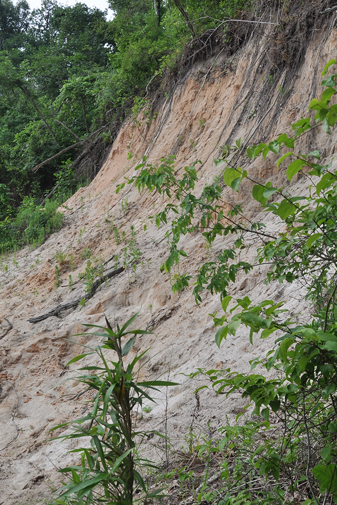
Chalk Bluff Natural Area is situated on the north end of the Arkansas portion of Crowley's Ridge where the St. Francis River cuts through the Ridge and divides Missouri's "bootheel" from Arkansas. Despite its name, Chalk Bluff has no chalk deposits. Rather, its soils are derived from sedimentary materials consisting of light-colored clays, silts, and sands. If exposed, such soils are subject to severe erosion and favor the development of steep slopes and deep ravines. On the natural area, these ravines are characterized by extensive stands of pawpaw and Christmas fern growing beneath beech trees. An upland oak-hickory forest clothes most of the remainder of the area. Clay County holds a long-term lease for development and operation of public-use facilities on a portion of the natural area.
TRAIL
Trail Length - 1 mile round trip
Trail Difficulty - Easy to moderate; some accessibility
Download Trail Map
Chalk Bluff nature trail makes a loop that begins and ends at the parking area. Visitors will pass through a playground and public-use pavilion before
dropping towards the St. Francis River. The trail winds along ridges, over knolls, and into forested valleys. Hikers will see many interpretive panels
along the way that give the natural and cultural history of the area. Portions of the trail are paved.
Cell Phone Audio Tour
DIRECTIONS
From U.S. Highway 62 in St. Francis, travel west on County Road 341 for 1.5 miles. At the intersection, turn right and go north on County Road 347 for 1.5 miles to the natural area.
HUNTING
Hunting is prohibited on this natural area.
Related Content
