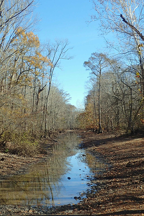
Cache River Natural Area consists mainly of a forested wetland complex along the Cache River in the Mississippi Alluvial Plain. The natural area contains a high-quality river swamp and bottomland hardwood forest plus many miles of the Cache River itself. Much of the forested wetlands that occurred across this part of the state have been cleared for agriculture. Areas such as Cache River Natural Area represent the last remaining fragments of these once extensive forested wetlands. This natural area lies within the Rex Hancock/Black Swamp Wildlife Management Area and is co-managed with the Arkansas Game and Fish Commission (AGFC).
DIRECTIONS
From Augusta, travel south on State Highway 33 to Gregory (from Interstate 40 take exit 202 and travel north on State Highway 33). At Gregory, turn east onto County Road 752 and travel 1.4 miles to the intersection with County Road 745. Bear right and continue on County Road 752 for 1.6 miles to the boat launch site.
HUNTING
Specific types of hunting are allowed on this natural area. For details, see the Rex Hancock Black Swamp WMA listing in the current Arkansas Hunting Guidebook. Take all necessary safety precautions when visiting this area.
Related Content
- Learn more about the Mississippi Alluvial Plain in our Natural Divisions of Arkansas publication
- Restoring the Iconic Lower Cache River - The Nature Conservancy
- Cache River National Wildlife Refuge - U.S. Fish and Wildlife Service